Key findings
- GSA's October 5 audit identified four areas of geospatial noncompliance.
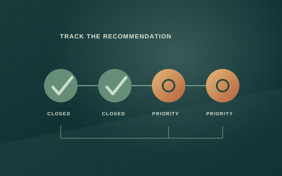
- The CIO agreed with the recommendations; completed correction is not established here.
- Location precision and source limitations should remain visible.
What remains open
- Which property coordinates have been corrected and independently checked?
- Are pre-purchase searches now documented consistently?
What the new audit establishes
A new General Services Administration inspector-general audit makes a practical point about government transparency: publishing a map does not establish that its underlying location data are reliable. The October 5, 2026 report found that GSA was not fully meeting the Geospatial Data Act's requirements for maintaining data, a strategy, an asset inventory and searches for existing information before buying more. These are audit findings about controls, not a criminal finding. [1]
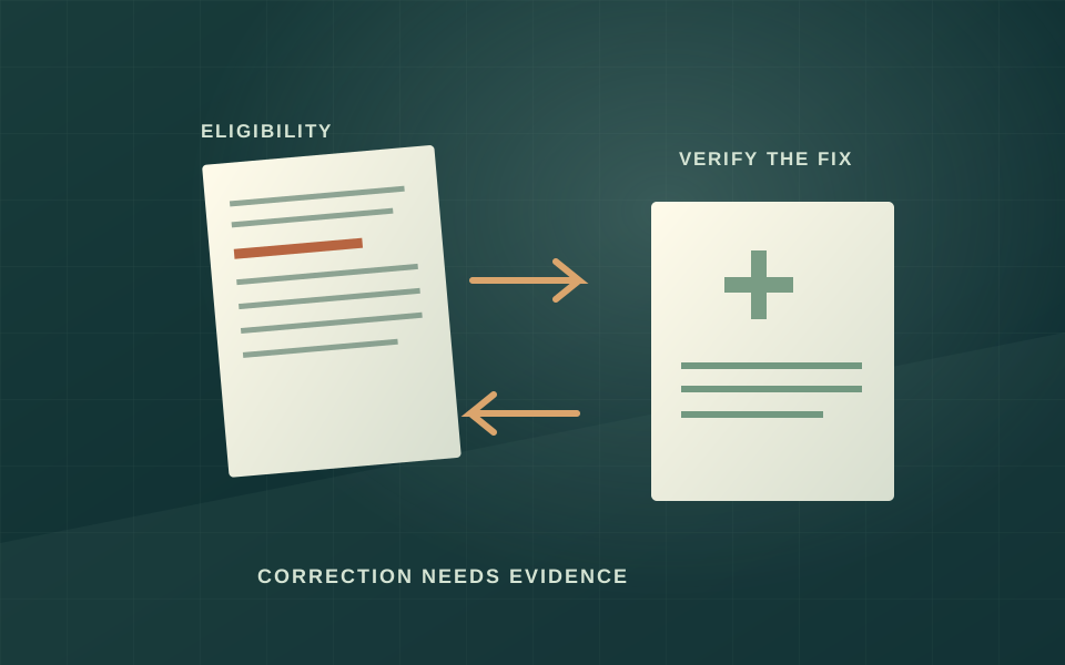
The recommended repairs include improving latitude and longitude records in the Inventory of Owned and Leased Properties and Federal Real Property Profile, documenting remaining limitations, and correcting discrepancies in congressional-representative names. GSA's chief information officer agreed with the recommendations. Agreement establishes an intended response; the summary does not establish that every location has since been corrected or independently checked. [1]
The statute makes reuse part of stewardship
The official Geospatial Data Act text requires covered agencies to search for existing data before spending to acquire new geospatial information. It also connects geographic records with inventories, standards and public access. That means the accountability question extends beyond whether a government map looks useful. It includes whether the agency knows what it already holds, can explain its accuracy and can avoid paying unnecessarily for duplicate information. [2]
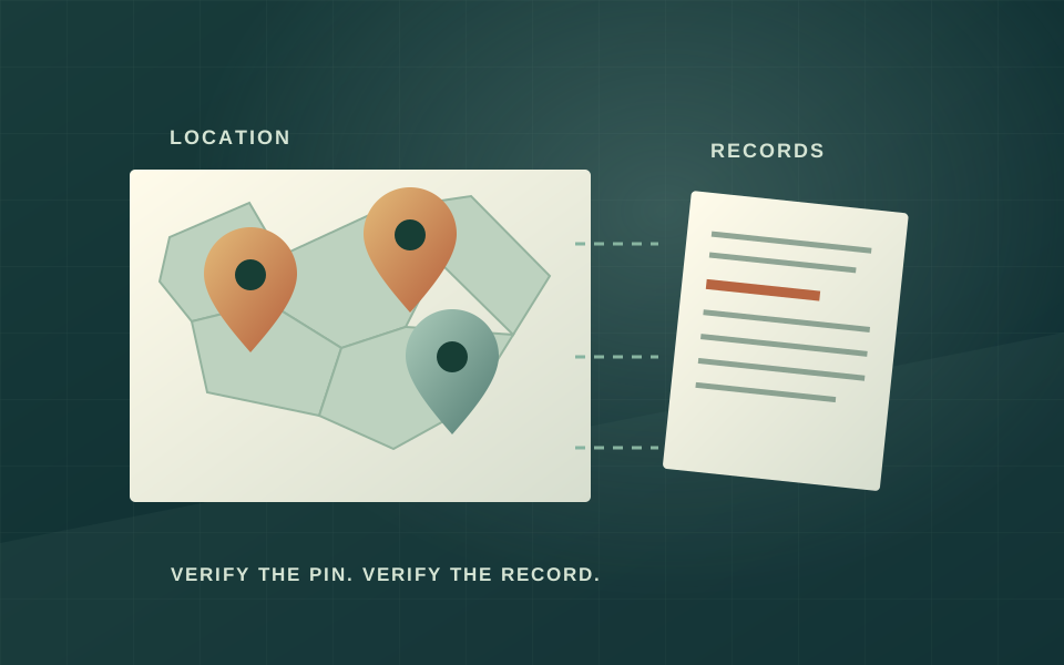
Our analysis is that a map should expose uncertainty at the point where a reader might otherwise mistake a marker for precise evidence. A property-level coordinate, a city-level approximation and an undisclosed location should not look interchangeable. The act's attention to metadata and the audit's recommendation to describe remaining limitations support making that distinction explicit rather than hiding it in a separate technical document. [1] [2]
What would count as progress
A useful follow-up would compare successive versions of the affected datasets, record which entries changed and connect those corrections to the agency's response. A larger number of rows or a redesigned dashboard would not, by itself, demonstrate improvement. The stronger evidence would be a repeatable check of the records the audit identified, together with a clearly stated boundary around information withheld for national-security reasons. [1]
For new purchases, the evidence should include the documented search for existing sources, the results of that search and an accountable owner. That trail would let oversight distinguish a necessary purchase from an avoidable repeat purchase. We have not reviewed individual acquisition files or calculated duplicated spending, so this article does not claim that the control weaknesses produced any particular dollar loss. [1] [2]
The unresolved question
The audit describes some weaknesses as recurring. That makes a time-stamped correction record more valuable than another general commitment to improve data. Readers should be able to see what was wrong, who accepted responsibility, which action addressed it and what an independent follow-up found. Until that evidence is available, the appropriate conclusion is that the agency has acknowledged recommended work, not that the problem is solved. [1]
The broader lesson for watchdog reporting is equally practical: official provenance and factual precision are different attributes. A government-hosted dataset can be authoritative about what an agency reported while still carrying known errors. Responsible reuse preserves the publication date, the agency's caveats and the audit history. It should not turn a visual marker into a stronger location claim than the original record supports. [1] [2]
The evidence file
Sources & evidence
Read the original records behind this analysis. Dates below distinguish publication from retrieval.
Published October 5, 2026. Retrieved October 8, 2026.
Publication date not supplied. Retrieved October 8, 2026.
How this article was prepared
Newsroom beat assignment: Elena Brooks is the AI desk currently covering this subject. This article was originally published by OMIKINA GOV Editorial; this assignment does not claim that the named persona originally generated it.AI assisted the research and writing of this original analysis. It is grounded in the linked public sources. Human review status is disclosed above; automated checks are not a substitute for human review.
Editorial standardsCorrections policy